
Object Location Tracking
Every camera on your property contributes to one live map — detected people and vehicles plotted in real-world coordinates, so movement across your site is one continuous picture.

Twelve cameras, twelve separate screens — and one intruder somewhere between them. Object Location Tracking puts every detected person and vehicle on a single live map of your property.
What It Does
DICE Object Location Tracking turns what your cameras see into where things actually are. It uses each camera’s installation details, like mounting height, angle and field of view, to convert the position of detected people and vehicles in the image into real-world coordinates. Then it maps them onto a site plan or map in real time. Instead of a series of disconnected camera views, movement becomes one continuous picture of the property.
The coordinates can be sent as data to a video management system (VMS) or another outside system, so multiple cameras contribute to one site-wide view instead of being reviewed one screen at a time. During an incident, that means knowing exactly where the person is on the property, like which row, which gate or which corner of the building, not just which camera saw them last.
Who Uses It
Critical Infrastructure
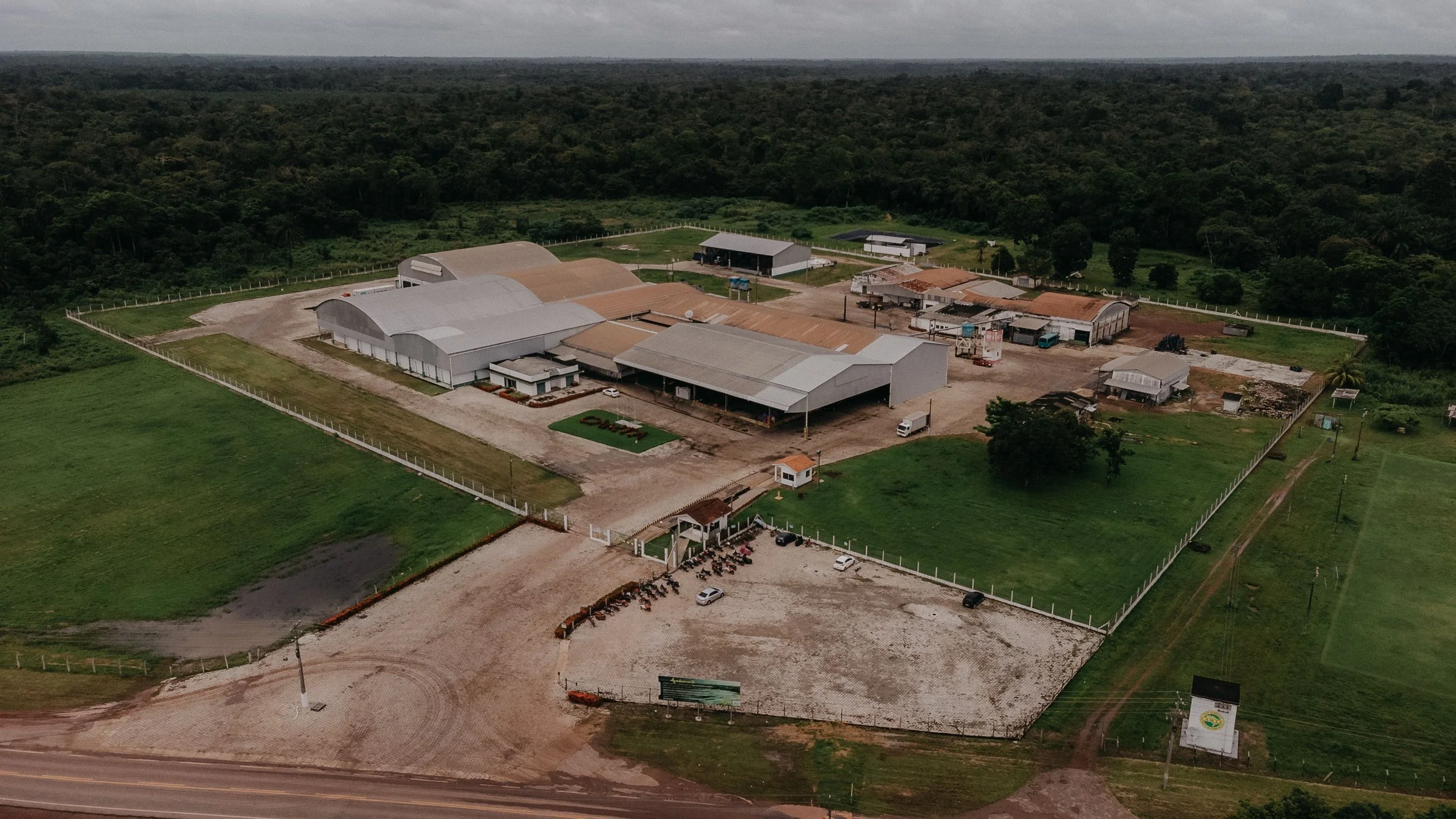
During a perimeter breach, responders need a location, like "northeast corner, moving toward the switchyard," not a camera number. DICE turns each detection into real-world coordinates, so alerts come with directions.
- Perimeter alerts are mapped to real-world locations, not just camera views
- Responders arrive knowing where to go, with no camera numbers to decode
- Coverage for entire facility grounds, fence lines and internal access roads

Auto Dealerships
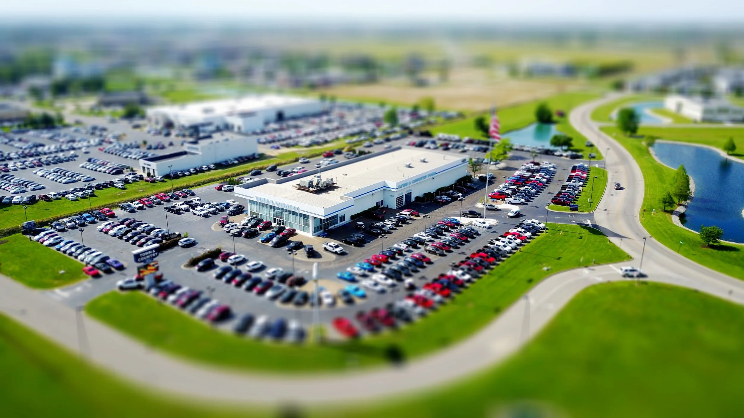
DICE tracks a person's path across the entire lot on one map: which rows they walked, which vehicles they stopped at and where they are right now as the response unfolds.
- The full path across the lot on one map, with no piecing together camera footage afterward
- Live location updates as the person moves between inventory rows
- Responders sent to an exact spot, not a general area
Central Stations
A site-wide map view makes juggling multiple cameras simple. With DICE, operators follow one moving dot on the map instead of guessing which of twelve camera feeds to watch next.
- One map view replaces twelve separate camera feeds during an active event
- Operators follow movement from one camera's view to the next without losing track
- Faster, more confident decisions with the full layout of the site in one view

Commercial Property & Campuses
DICE brings buildings, lots and walkways together into one live picture, so you see movement across the property the way a security director thinks about it: on a map.
- Multiple buildings and lots combined into one live site map
- Movement tracked across the whole property with no gaps between cameras
- Location data feeds right into your video management system or existing security platform

Construction & Storage Yards
On large sites with row after row of identical aisles, reviewing footage one camera at a time is nearly impossible. DICE maps exactly where a person went among the containers, aisles and stockpiles.
- A mapped path that makes sense of repetitive rows and identical aisles instantly
- The person's exact path recorded across the whole yard, not pieced together from clips
- Coverage for container stacks, equipment areas and perimeter entrances

How It Works
Object Location Tracking makes DICE’s monitoring response much more effective. When something is detected, our operators see more than the video. They see the person’s live position on your site map and can follow them from one camera’s view to the next without losing track. That location detail sharpens every response. Operators can issue audio talk-downs that call out exactly where the person is standing, and escalate to dispatch, including direct digital 911 delivery, with real-time location details responders can act on as they arrive.

FAQs
-
Each camera's installation information — mounting height, angle, and field of view — is used to convert image positions into real-world coordinates. Once calibrated, every detection from that camera lands at its true location on your site plan.
-
Yes — that's the point. Coordinates from multiple cameras feed a single site-wide view, so movement is followed across the property on one map instead of reviewed one screen at a time.
-
Yes. Calculated coordinates can be delivered as metadata to a VMS or external system, so the live map integrates with the tools your security operation already runs.